Digital investigations. Human stories.

We’re dedicated to exposing human rights violations and threats to democracy through open source investigations and research.

Highlights

All articles

Killings caught on camera: Shootings of civilians in Gaza and the West Bank

Struck in their sleep: Airstrike hits monastery shelter in Sagaing

Record-breaking Russian strikes during peace negotiations

Militarisation near the Wanbao Copper Mine drives Arson Attacks and Forced Displacement

Tracing flights: Has a Czech company supplied aircraft to the Myanmar Air Force?

Attack on Shaq Al Noum, North Kordofan

Ceasefire in name only: Reported aerial attacks continue after Myanmar’s earthquake truce

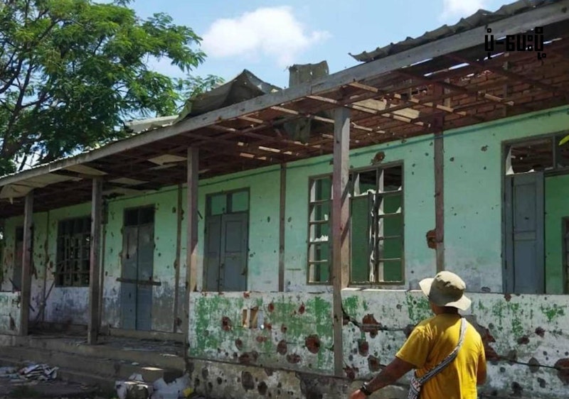
Myanmar's cities and towns after four years of conflict

Explore the StoryMap

The Israel-Gaza Conflict Map

The Israel-Gaza Conflict Map is a map of incidents documented by CIR covering the Occupied Palestinian Territories (the Gaza Strip, the West Bank, and East Jerusalem), Israel, and Lebanon since 7 October 2023.

Incidents have been visually verified using videos and photos uploaded from the ground, as well as satellite imagery, to identify when the incident happened (date) and where it happened (location). Each piece of data has been analysed for authenticity by CIR Investigators.

Explore the Map

Browse our 'Gender Lens' hub

Explore

Projects

We are an independent organisation dedicated to exposing human rights violations and threats to democracy. We achieve this through open source research, digital investigations, capacity-building with local partners, and collaboration with media to amplify our impact.

About The Centre for Information Resilience

In the Press

See all press